The map-based negotiation framework for navigating complex spatial planning and stakeholder consensus.
👉 See how to resolve your next planning conflict
Whether you’re tackling urban development, infrastructure, environmental planning, or policy-making, Geodesignhub helps you move from scattered ideas to structured, data-backed decisions. By combining intuitive sketching tools, real-time collaboration, and scenario management, it empowers teams to visualize trade-offs, build consensus, and make progress—faster and more transparently.
Collaborate Intelligently
Bring diverse stakeholders into one planning space—online or in-person.
Streamline Complex Decisions
Manage priorities, conflicts, and strategies efficiently—without endless meetings.
Backed by Data
Connect with GIS and modeling tools for evidence-based decision-making.

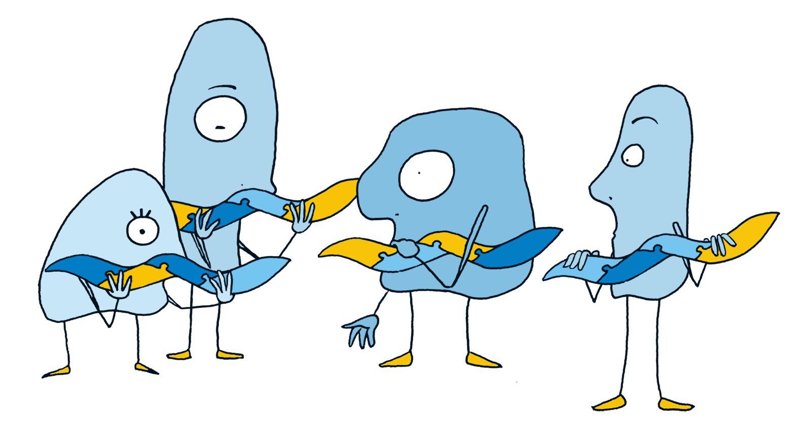
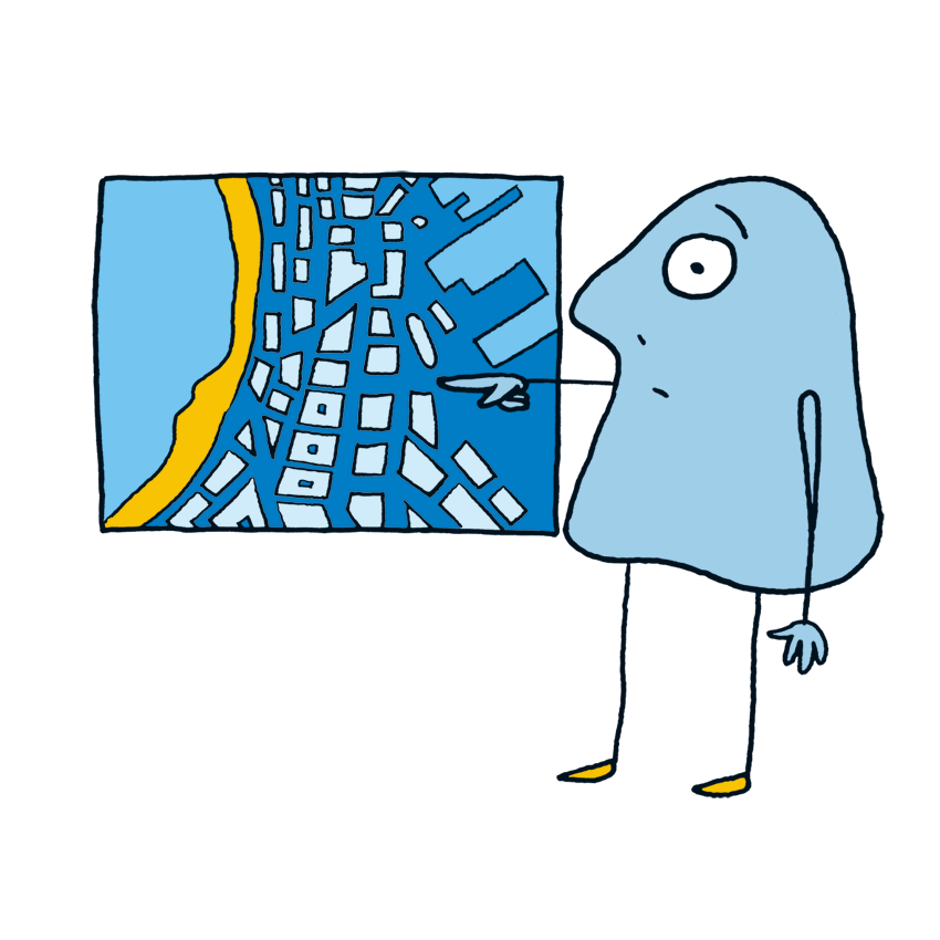
Geodesignhub provides the digital architecture for resolving high-stakes planning conflicts. It is built for environments of high uncertainty and risk, where traditional GIS tools fall short of building human consensus. Use the platform to facilitate a structured "give-and-take" process that turns political friction into actionable, map-backed agreements.
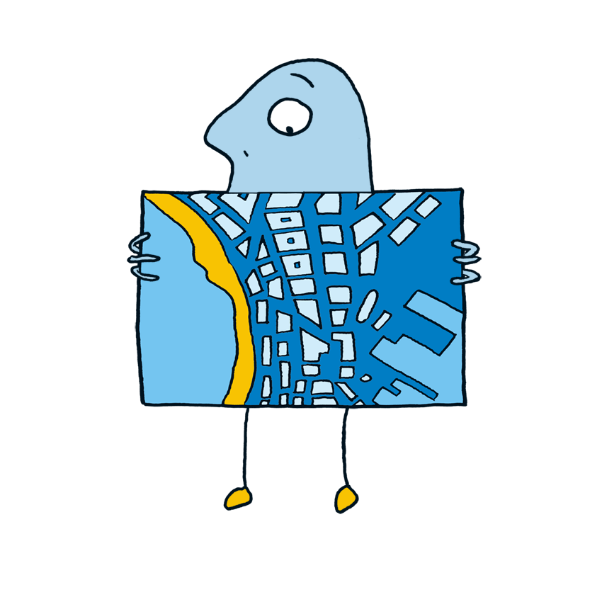
For sites where competing economic, environmental, and social forces have reached a standstill.
When projects require the alignment of diverging political views to secure a viable path forward.
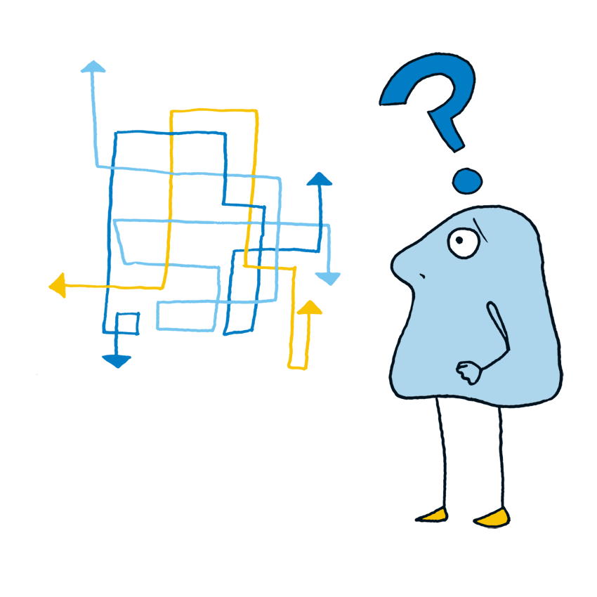
For complex projects where traditional decision-making is too slow or carries too much financial and social risk.
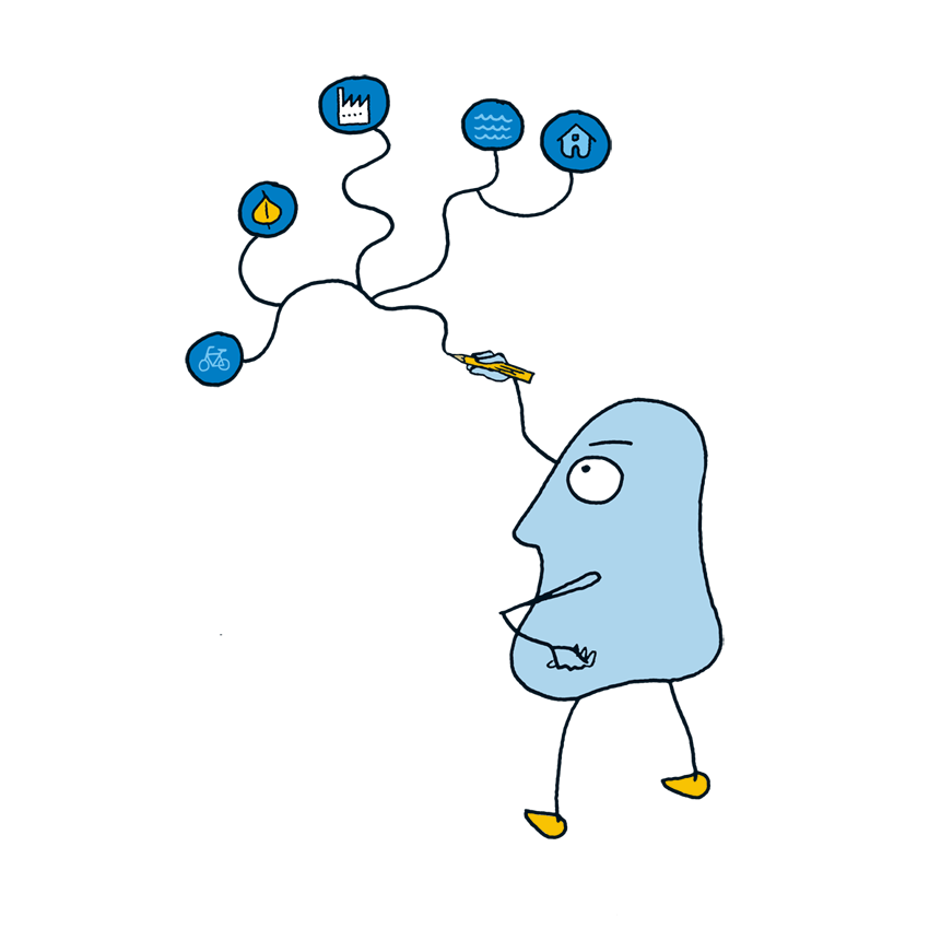
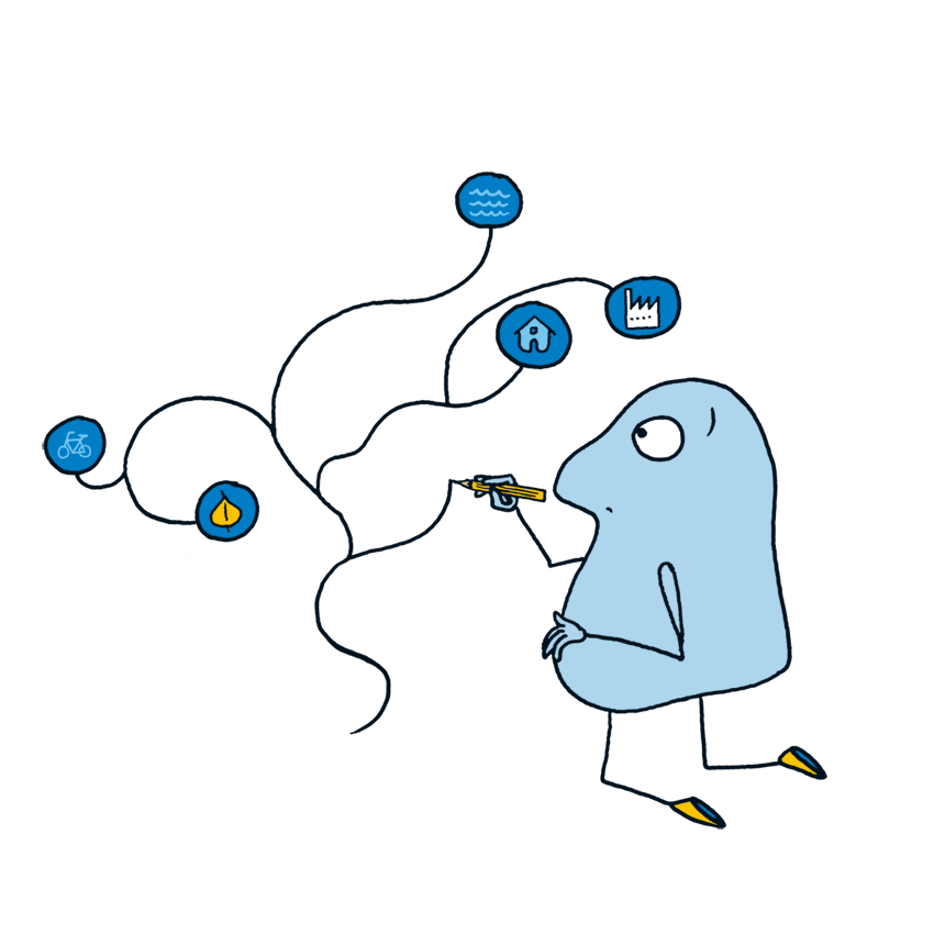
When the primary challenge is organizing vast amounts of data and conflicting interests into a single, shared roadmap.
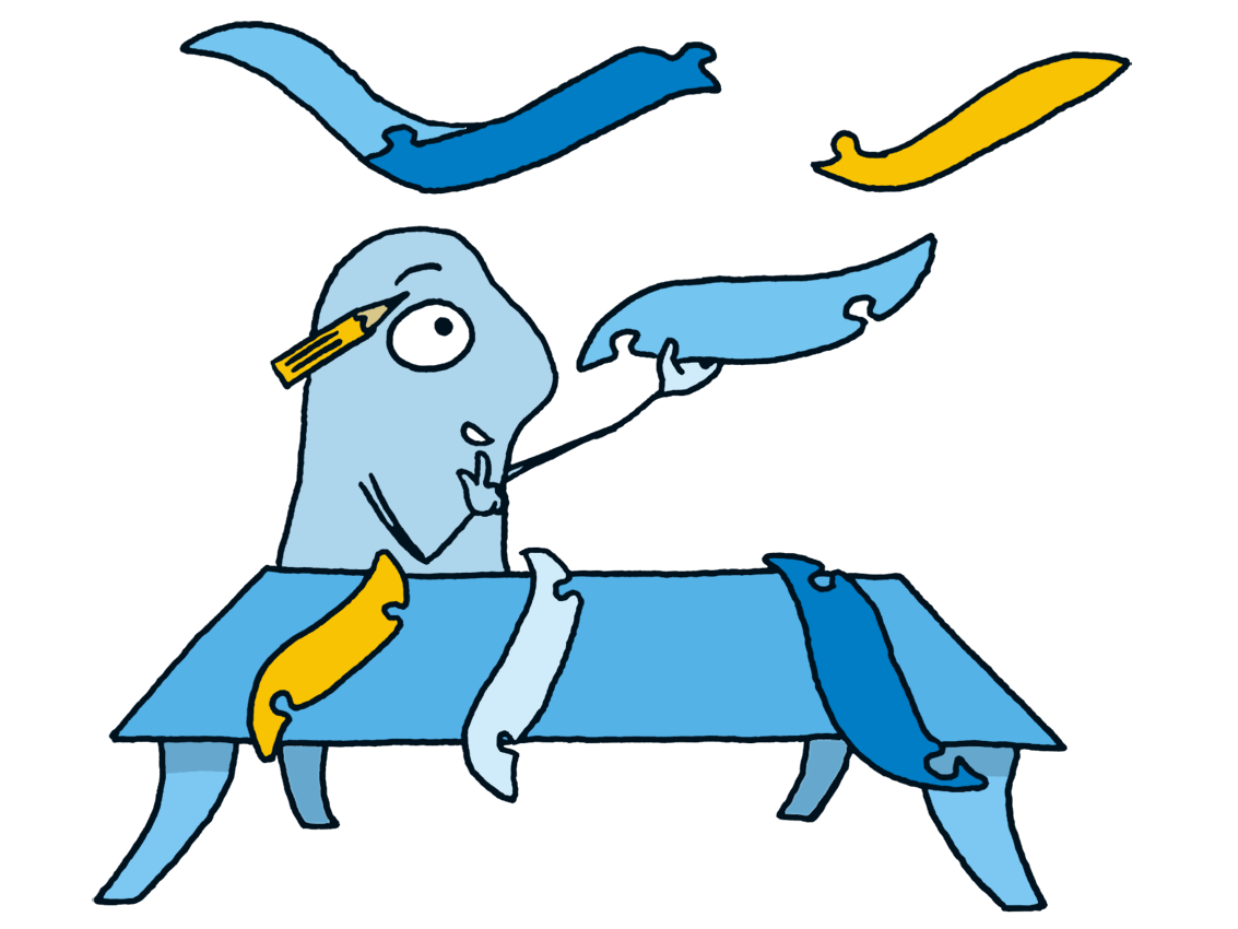
The essential toolkit for projects that require stakeholder compromise and "give-and-take" to achieve a final agreement.
Online or in person, up to 50 participants
Professionally trained facilitators

Geodesignhub helps property developers, community organizations, portfolio managers, local authorities, urban designers / planners, make consensus driven decisions by organizing sophisticated digitally powered negotiations with stakeholders.
Event organizers use the technology to expedite projects and agreements for complex problems in different domains:

From initial concept to a negotiated settlement, the Geodesignhub workflow provides a structured digital environment for your project.
Define the project's digital parameters
Identify:
Build your evidence base!
Import your existing GIS data or collect new insights via Geo-surveys and social media. Geodesignhub organizes diverse data layers into a cohesive "sandbox" where stakeholders can visualize impacts in real-time.
Run collaborative workshops!
Facilitate high-speed sketching and "give-and-take" sessions. The platform allows up to 50 participants to negotiate across maps simultaneously, revealing trade-offs and building consensus through iterative design.
Export actionable insights
Once an agreement is reached, generate comprehensive reports and spatial data exports. Transition seamlessly from a negotiated concept to a finalized plan with data-backed transparency.
Master the Geodesign workflow at your own pace with our comprehensive certification.

Transforming Complexity into Clarity
In the realm of planning and design, complexity is a constant. Geodesignhub empowers you to navigate this complexity with confidence. By integrating diverse data sources, stakeholder inputs, and spatial analysis into a cohesive platform, you gain the ability to make informed decisions swiftly and collaboratively. This isn't just about managing projects—it's about leading them with insight and precision.
With Geodesignhub, you can bring order to even the most complicated planning challenges. It helps you and your team see the big picture, explore ideas together, and move forward with a shared understanding. Whether you're working on a neighborhood plan or something much bigger, it's like having a clear roadmap—and everyone’s on the same page.


